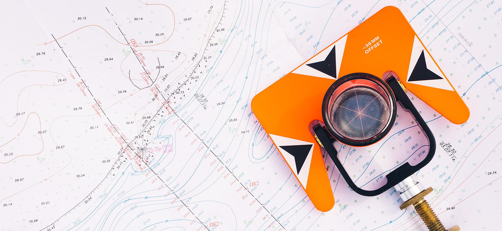
Topographical Surveys
From Contours to Boundaries – We Capture It All.
Topographical Surveys for Accurate Site Data
A topographical survey is essential for any development, providing precise mapping of a site’s existing features. From residential builds to complex civil engineering projects, it forms the foundation of design, planning, and decision-making.
At Profile Surveying Services, we deliver accurate, detailed surveys of key site features — including boundaries, building footprints, structures, drainage, trees, surface types, and ground levels. Our work gives architects, engineers, developers, and builders the confidence to move forward with clarity.
What We Do
Using industry-leading equipment like Leica Total Stations and GNSS systems, we gather reliable spatial data tailored to your site. Every detail is captured, giving you a clear, comprehensive view of the land as it stands.
How Our Topographical Surveys Benefit You
-
Accurate Data for Planning
Get the essential information needed for effective design and layout — reducing costly rework down the line. -
Informed Decision-Making
From site layout to drainage planning or resolving boundary issues, our surveys offer clarity when it matters most. -
Applicable Across Projects
Whether it’s a residential plot or a multi-phase infrastructure scheme, we cover greenfield, brownfield, and built-up urban sites. -
Comprehensive Site Coverage
We capture everything from levels and surface materials to tree positions, utilities, and structures. -
Cut & Fill Calculations
Using OGL (Original Ground Level) surveys, we calculate cut and fill volumes to help manage earthworks efficiently. This optimises material movement, reduces muck-away costs, and keeps your project leaner and greener. -
Trusted Expertise
Our experienced surveyors deliver high-quality data you can rely on — no guesswork, just precision.


